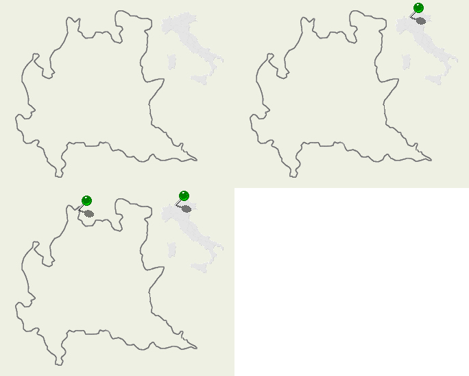
| Val di Lei - SO/Italy |

|
Val di Lei is located in the north of Valchiavenna (Lombardy/North of Italy), but it cannot be considered to be one of its lateral valleys. In fact, from Valchiavenna you can only access it on foot with a rather lengthy four to five hoursí walk, which would pass via the Chiavenna hut and climb over the Angeloga Pass (mt. 2391) or otherwise reaching Madesimo to Groppera via cable way and then hiking down with an hourís walk. The only road that reaches this valley goes through the Canton Grigioni in Switzerland, beyond the towns of Splugen and Avers, where the road climbs to the Ferrera Valley. Shortly after the village of Innerferrera (mt. 1480), you may turn right and continue until you reach the tunnel that takes you to the customs. It is then best to park in the square near the dam. The tunnel is open only from May to November, from 5 a.m. to 10 p.m. The dam, built in the fifties, is 700 metres long and 173 metres high; it bars the Rhine-Lei, one of the streams that flows into the river Rhine. The Lei lake is the most important feature of this valley. Being eight kilometers long and half a kilometer wide, it occupies the entire valley floor. It is surrounded by two rows of mountains that at their highest point, the peak Pizzo Stella, reach 3163 meters. Its waters are teeming with fish: favorites include the Namaikus or Canadian salmon, which can reach over ten lbs in weight, and various kinds of trouts. The only useful base-point in the whole valley is the Baita del Capriolo hut (mt. 1961), reachable by a 15 minutesí walk once passed the dam and proceeding towards the right. At the aforementioned hut one can also hire bicycles and enjoy the available path that runs along the western side of the lake. |
Mountain Wallpapers: Val di Lei
![]()
![]()
![]()
![]()
![]()
![]()