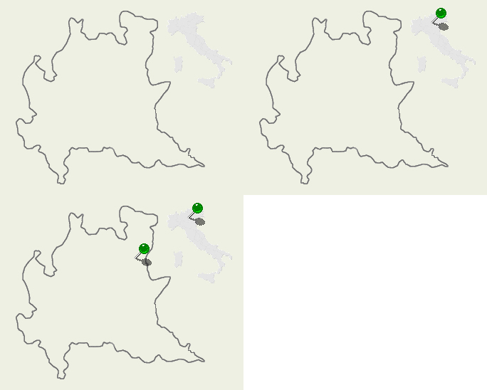
| Val Camonica - BS/Italy |

|
Val Camonica, (Brescia province), is a long lengthwise valley in the Central Alps. It is crossed by the river Oglio, the main tributary of the Lake Iseo which closes the valley to South. On the other sides the Valley borders Mount Adamello (3539mt) to East; the Tonale Pass and Gavia Pass to North (Region Trentino); and the Aprica Pass to West (towards Valtellina Valley and Orobie Alps). A fair bit of its territory (mainly to North) is included in two large parks: the Stelvio Park and the Adamello Park. For nature lovers, this is a very interesting situation that probably has no equal in the Alps. More to the South, in the heart of the valley, the ancient prehistoric populations who lived here, have carved thousands of scratches, symbols, ideograms; in short their history and culture. It is a wide open air museum where it is possible to read the history between the Prehistory and the Middle Ages. The main villages are Edolo, Breno, Borno, Ponte di Legno and Vezza d'Oglio. No one of these have more then 5000 inhabitants. For hikers, it is worth mentioning the path named "# 1 Alta Via dell' Adamello". It is a long path which allows walkers to cross all the eastern side of the valley, between 2000 and 3000 metres, covering a 4000mt level difference in a 25 hours walk and reaching all the main huts, which are named Secchi, Maria e Franco, Lissone, Adamè, Prudenzini, Gnutti, Tonolini, Baitone and Garibaldi. |
Mountain Wallpapers: Val Camonica
![]()
![]()
![]()
![]()
![]()
![]()