| Fun Island - Maldives |

|
The Maldives islands (from Sanskrit Malodheep that means garland) are a chain of
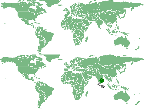
little and low coral islands, gathered in clusters named atolls. They are situated about 600 km to South-West from Sri Lanka. This archipelago with 26 atolls has a 298 square km surface only, and it is situated upon the equator in a long vertical strip, 754 km long and 118 km wide. In these islands there are neither hills nor rivers; no one of them is 3 meters high above sea-level, or is more than 8 km long. The number of the islands have been valued from 1300 to 13000 units, but the government established that they are 1192; among these only 202 islands are inhabited. Counting the Maldivian islands seems to be an easy task but, flying over an atoll, it is practically impossible distinguish a coral reef below the sea-level or a sandbank barely emerging. The situation may also change due to the high or low tide. Officially, the criterion to define an island is the presence of vegetation, but this is a relative term of comparison. It may happen to find a very small sandbank with some bushes and to wonder if it agrees with the criteria or not. There are also little round sandbanks, with a coconut palm only; similar to the cartoon of the desert island with a shipwrecked person; while in the largest islands grows bamboo, banana-trees, mangrove and forest trees. The republic of Maldives is a small Islamic country with 300000 inhabitants about. It is proud of its own history, culture and language. The Maldivians have traditionally been fishermen and dealers. They was able to preserve their independence for ages. They are a people very discreet and gentle; even if they do not dispense many smiles, they prove a warm hospitality. The official language is dhivehi but nearly all speak English too. Malè is the smallest capital all over the world: measures 1,5 square km only. Fun Island (or Bodufinolhu in Maldivian language) is situated in the South-East part of the Malè-South atoll and it is reaching from the Malè airport with a motorboat in 45 minutes. It is 750mt long and about 100mt wide; so it is possible to consider it fairly large. The sea is crystalline, the sand is really white; anywhere you turn round, it seems to see a postcard. The best side of the island is that to North, in front of Kuda Finolhu, a fantastic desert island, reaching on foot too with the low tide when the water is not over 150 centimetres height. From here it is also possible to reach the next island. However you must pay attention not to stay too much and come back before the water rises; during the high tide the stream among the islands is very rushing. At the East side there is a beautiful lagoon, with low and worm water, about 800mt long, before to arrive to the external reef of the atoll. In this side there are beautiful palms acting as beach umbrellas, assuring in this way a pleasant coolness feeling, fully respecting the nature. At the West side the lagoon is smaller and a little more deep; a 400mt long wharf leads to the reef where it is possible to swim among hundreds of fishes with different shapes and colors. In the evening, after dinner, a three metres wingspan manta shows off; making evolutions under the surface of the water disappearing and appearing again many times. The tourists since many time, call her Samantha. At the South a channel separate Bodufinolhu from the near island Olhuveli. In this zone the dhonis, typical local boats used in the excursions, are parked. On the whole the island is well-kept; all the rooms (four per house, in two rows) are situated in the central part, surrounded with vegetation; so remain a wide space for the beach. Dawns and sunsets are spectacular. |