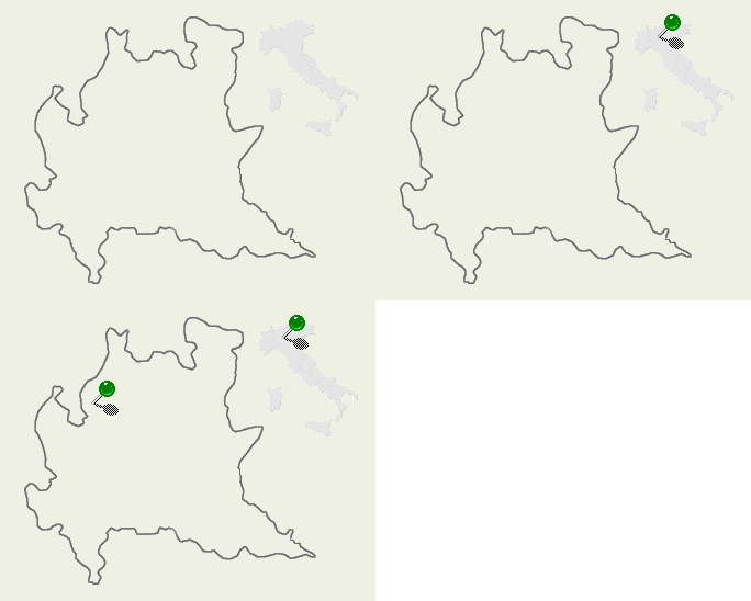
| Valli Lariane - CO/Italy |

|
Lake Como (North of Italy), also called Lario, is the third extended Italian lake. Its characteristic shape is an overturned Y formed by the three arms that ends with the towns of Colico (North), Lecco (South East) and Como (South West). It is entirely surrounded with mountains which slopes, almost always, descend steeply till the water of the lake and goes down till a depth of 410mt, the maximum depth for the European lakes. The principal mounts surrounding it are: - Mount Legnone (mt. 2609) the highest top of this valley, and mountains Grigne between the lake and Valsassina Valley, on the east side; - Mounts Bisbino, Crocione and Tremezzo on the West side; - Mounts St. Primo, Bolettone, Palanzone and Corni di Canzo in the Larian Triangle, that is the zone between the two southern arms of the lake. Walking along the paths is the more classic way to admire the landscapes of the lake. The trekking "via dei monti lariani (= Larian mountains way)" allows to cover, between 600 and 1200 meters height, all the western side of the lake, between the towns Cernobbio and Sorico. The path is 125 km. long (really!), and even if is subdivided in various stages, need a good physical training. Another beautiful and long walk is the one that starts from Brunate, reaching with a cable railway from Como, and cross all the Larian Triangle going up all the principal mountains. At the North end of the lake there are a place named Pian di Spagna that has a great naturalistic interest. It is a green oasis, among the lake and the rivers Mera and Adda, where it is possible meet the various kind of animals living here. In past times, when the streets around the lake were not so good as now, folks preferred to utilize the navigation to move in this valley: in the morning Tivan blows from Valtellina to the South and the boats sailed to Como or Lecco; then it was necessary to wait for the afternoon when Breva starts to blow in the opposite direction bringing back the boats to the North. Nowadays we can simply use one of the big boats or hydrofoils that plough the waves and make a good excursion. In this way we could also admire, on the bank of the lake, the famous villas (=large houses) such as Villa Carlotta at Tremezzo having a beautiful garden with camellias and azaleas, Canova's sculptures and Hayez' paintings. Lake Como was inhabited since prehistory and has always had a great importance as communication route between the northern regions and the valley of the river Po (the most important and long Italian river). This zone underwent invasions and dominations for ages due to its strategic position that allows to reach easily the passes of Maloja and Spluga. Among the principals towns and villages around it, besides the already mentioned Como, Lecco and Colico, it is worth remembering also Bellagio in the center of the lake, Argegno, Menaggio and Bellano. |
Mountain Wallpapers: Valli Lariane
![]()
![]()
![]()
![]()
![]()
![]()